REMUS 100 Unmanned Underwater Vehicle (UUV)
HII’s REMUS 100 Unmanned Underwater Vehicles (UUV) is a compact, lightweight Autonomous Underwater Vehicle (AUV) that has advanced core electronics and endures operating for up to 12 hours. The REMUS 100 models are successfully used for search areas, debris field mapping, and topographic ocean floor mapping in water down to 100 m. The UUVs are outfitted with side scan sonar, using sound to create images of the ocean floor, increasing search efficiency in low visibility areas. Built on the REMUS Technology Platform, the vehicles are open architecture and have enhanced modularity. The latest technology has provided the REMUS 100 assistance in conducting Mine Countermeasure (MCM) operations.

REMUS 100B
The REMUS 100B bathymetric variant is a small-class, two-man portable UUV designed to provide high-resolution side scan sonar and 3D bathymetric survey data. The REMUS 100B is ideally suited for collecting side scan sonar and bathymetric data for seabed investigations and route surveys. Paired with a navigation system, the high-resolution sonar imagery documents ocean floor terrain characteristics and obstructions.
Given the stability and versatility of the REMUS 100B, there are numerous applications possible. Applications include:
- Hydrographic survey
- Rapid environmental assessment (REA)
- Search and recovery (SAR)
- Offshore oil and gas
- Marine geology
- Port and harbour security
- Maine countermeasures (MCM)
- Renewables
Read More
REMUS 100E
The REMUS 100E environmental variant is a two-man portable UUV that can measure water quality and collect ecological survey data in support of scientific marine studies. The REMUS 100E is outfitted with specialized sensors to facilitate environmental monitoring. It can rapidly be deployed to assist with emergency response operations and water quality studies, measuring this like dissolved oxygen, temperature salinity, turbidity, current chlorophyll, fluorescence, hydrocarbons and thermoclines.
Additional applications include:
- Environmental monitoring
- Marine Research
- Climate Change
Read More

REMUS 100M
The REMUS 100M mine countermeasures (MCM) variant is a small class, two-man portable UUV that can be rapidly deployed to hazardous areas to collect data in support of defence missions. The REMUS 100M is used by expeditionary warfare forces worldwide to conduct shallow-water MCM and port had harbour clearance. Using side scan sonar, the REMUS 100M surveys large areas autonomously which allows operators to review the data away from the mine field to identify and classify mine-like objects.
Additional applications include:
- Mine countermeasures (MCM)
- Search and Recovery (SAR)
- Rapid Environmental Assessment (RAE)
- Intelligence, Surveillance and Reconnaissance (ISR)
- Marine Geology
- Marine Archaeology
Read More
REMUS Double at Depot Level Maintenance Facility
REMUS 100 Sea Trial Confirms CAT 1B Hydrographic Survey Capability
BlueZone named as authorised REMUS service centre
For more information on the REMUS 100 variants, contact the team at BlueZone.


Related products

SEABER's MARVEL-SCAN is equipped with a 200kHz or 680kHz Side Scan Sonar from DeepVision which provides great quality images with high stability, accurate navigation, and capable of managing coastal areas...
Read more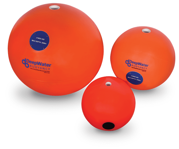
HardBall® Float Subsea Buoyancy
DeepWater Buoyancy’s Hardball® Floats provide subsea buoyancy for a wide variety of oceanographic applications.
Read more
Submarines play a crucial role in maritime defence. Using such a vital naval asset as a target in Anti-Submarine Warfare (ASW) training is expensive and consumes resources. AUV62-AT is a...
Read more