Military Survey
Augmenting Existing Capabilities with Uncrewed Systems
The National Survey Task
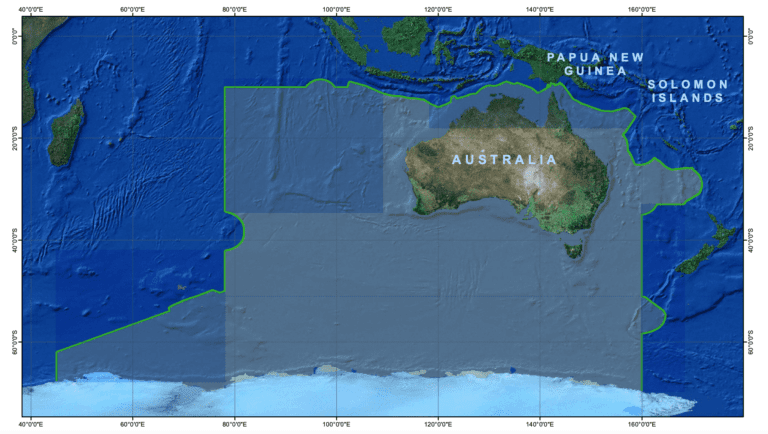
In 2016 the Defence White Paper signalled the Government’s intention to develop ‘an efficient combination of military and commercial hydrographic and oceanographic survey capabilities’ to replace the current hydrographic capabilities of the Royal Australian Navy. This has led to the establishment of the HydroScheme Industry Partnership Program (HIPP), which aims to grow and deliver a sustainable, productive and efficient program to support the National Survey Task.
Continued Demand for Survey Capability
The demand for survey capabilities can only be expected to grow as an understanding of the maritime warfare environment is a “knowledge edge” that is invaluable to the Australian Defence Force. Military survey work may include deep ocean areas where there is no genuine threat to surface navigation, but where a reconnaissance mission or scientific cruise may identify subsea hazards to submarine navigation. Areas like the archipelagos to the north of Australia through to Indonesia, Paua New Guinea and the Philippines present many regions of shallow reef water and shallow shelving areas where considerable survey work is required. In busy locations such as the Straits of Malacca and Singapore, wider shipping fairways and more accurate knowledge of depth is required as ships become larger. Effort is required to survey and re-survey locations especially where mobile seabeds and mobile sand waves present hazards.
Survey Types
Many organisations are recognising survey types that include:
- Hydrographic Survey. Activities primarily associated with survey to obtain data required to produce nautical chars in the Australian Charting Area
- Oceanographic Survey. Survey of the deep ocean and coastal seas that identifies hazards to subsea navigation
- Military Survey. Specialised survey activities undertaken in direct support of defence force needs and that may be required to be completed in a covert manner or in the presence of opposition forces or heightened threat environments
- Rapid Environmental Assessment. Focussed on rapid assessment of areas intended for military operations to support planning or in-stride adjustment of tactics.


Uncrewed Systems
Uncrewed systems offer new capabilities that can support existing hydrographic survey conducted by crewed ships, survey launches and other manned assets.
Uncrewed Surface Vessels (USV) can integrate Multi Beam Echo Sounders (MBES), towed sonars and other survey tools for conduct of the “dull, dangerous and dirty” work of survey that may need to be conducted in the presence of opposition forces. High speed USV can contribute to more rapid survey of required areas or augment the coverage rate of a manned vessels by accompanying the vessel in survey runs.
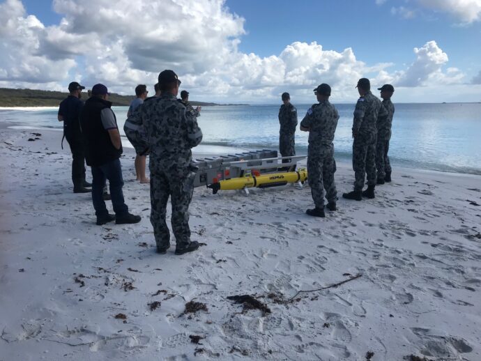
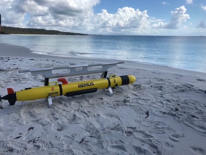
Uncrewed Underwater Vehicles (UUV) provide the essential capability of enabling covert reconnaissance and survey of areas. By operating close to the seafloor, they can provide highly detailed data of seabed conditions and imaging of objects of interest on the seafloor.
Operational Support
BlueZone works with a team comprised of certified Level 1 hydrographic surveyors, ensuring a complete understanding of the processing chain for hydrographic data from obtaining the data at sea to producing charts and other survey products for users.
Original Equipment Manufacturer Reachback
BlueZone OEM reach back ensures a wide variety of technologies and systems is available to be tailored to the unique requirements of military survey tasks.
Engineering and Through Life Support
BlueZone engineering teams are experienced in the integration of survey technologies into uncrewed platforms and routinely work with operatorial surveys to ensure fitness for purpose of any proposed system or equipment. Integration tasks can be complex including survey sensors, differential GPS systems and the space and weight considerations of small uncrewed platforms. Rapid integration and modification of systems can be performed in Australia to meet local needs and the unique and challenging environmental conditions from our southern seas to tropical waters.
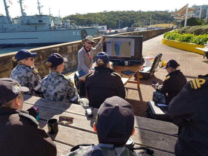
Complete through life support for all technology and systems is offered by BlueZone from fully equipped workshops based east coast (Newcastle, NSW) and west coast (Perth, WA). BlueZone support training in maintenance and operation of survey systems for Navy and other customers.


