Overview of MB1
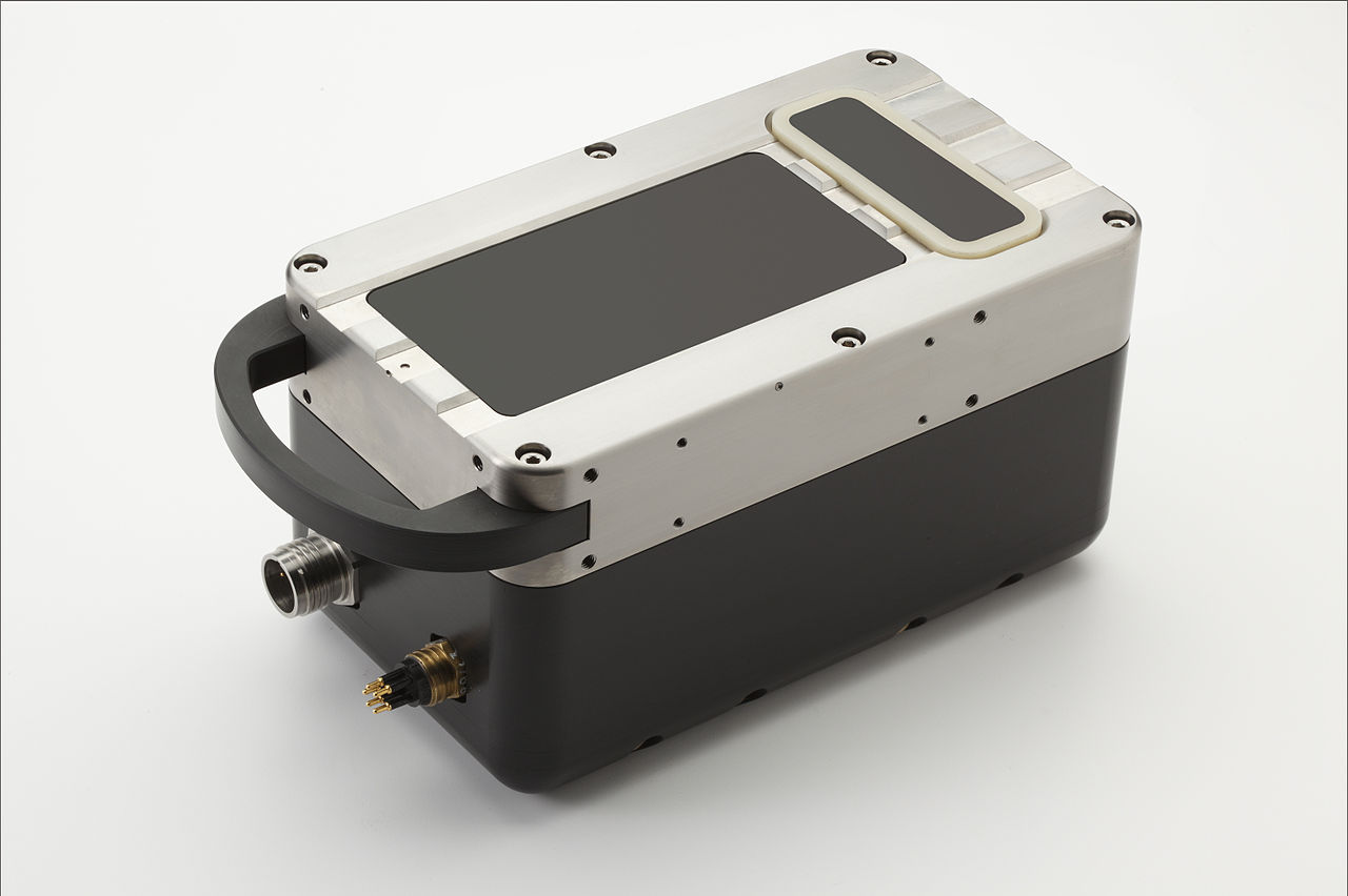
Completely designed and manufactured within the Teledyne Marine group, the MB1 multibeam echo sounder is designed to meet the needs of hydrographic professionals that are looking for a low cost yet high performance swath sounder.
Sounding Performance
Using both amplitude and phase bottom detection, MB1 is capable of sounding a swath of up to 120 degrees in over 120m depth of water, and up to 240m at nadir. With 24-bit resolution and a dedicated projector, both raw water column and seabed data can be collected within the controller software.
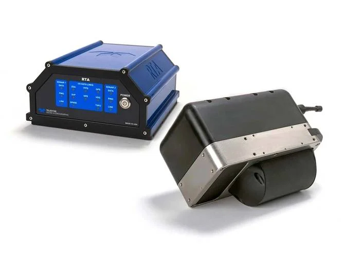
Using a new and improved Real Time Appliance (RTA), the echo sounder can be interfaced with all of the sensors necessary for surveying whilst maintaining accurate timing synchronization.
Construction
The sounder is manufactured using corrosion resistant Acetal and Titanium, ensuring years of reliable use in harsh marine environments. Impulse Titan series connectors are used for quick and dependable data connections.
Overview of MB2
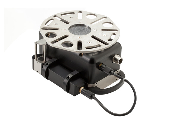
The MB2 features a cylindrical transmit array and a broad range of sounding frequencies improving the performance of the MB1, by offering a wider coverage and narrower acoustic beam. Using both amplitude and phase bottom detection, the MB2 is capable of sounding a swath of up to 140° in up to 110m water depth.
Read More:
Up to 25-hour mission duration
Speeds up to 4.2 knots
Increased module payload capacity
Search and recovery
Hydrography
Deep sea mineral exploration
Marine & Fisheries research
The OceanTools OceanDISP-7K is a versatile, light-activated deep ocean display unit capable of interfacing to the serial outputs of a wide range of subsea devices.
Read moreMooring Systems Subsurface Floats
Mooring Systems, Inc. utilises plastic commercial fishing floats and steel floatation spheres for use in a variety of instrument mooring applications.
Read moreAML Oceanographic UV Biofouling Control

When instrumentation is deployed underwater in a stationary position for long periods of time, biofouling will occur. This unwanted marine growth causes sensor drift, requiring preventative measures to ensure accurate data.
Read moreREMUS on 7 News! RANs Autonomous Survey of the River Derwent
(Video Credit: 7 News Tasmania) The River Derwent is a vital waterway for Tasmania, supporting commercial, recreational, and defence maritime activity. The Royal Australian Navy’s Geospatial teams recently conducted...
Read MoreAutonomous Advantage: Bayonet 250 in the Littoral Battlespace
The surf zone remains one of the most dangerous and least understood environments in military operations, concealing mines, unexploded ordnance, and obstacles that threaten both personnel and mission success. Traditionally,...
Read MoreFrom Contact Detection to Diver Deployment: Enhancing Police Search Operations with SeeByte
Survey smarter. Investigate faster. Recover with confidence. When police dive teams are called to investigate a submerged vehicle, recover critical evidence, or conduct a search and recovery operation, every...
Read More