SeeTrack

SeeTrack by Seebyte

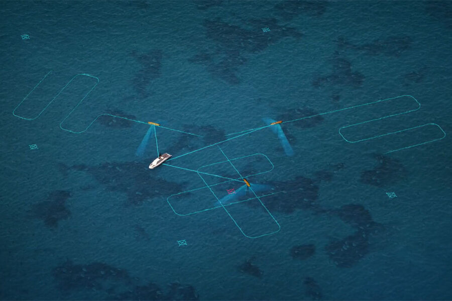
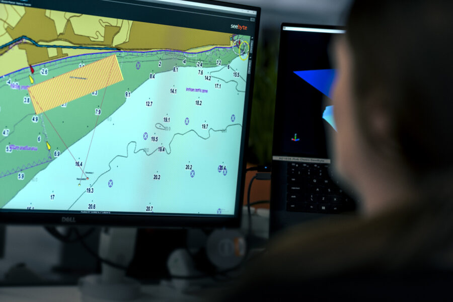
SeeTrack is a powerful, vendor‑neutral mission management platform that delivers end‑to‑end support for planning, monitoring, and analysing operations across single or multi‑vehicle deployments. Built for flexibility and interoperability, SeeTrack has been successfully integrated with many of the world’s leading robotic and autonomous systems, enabling organisations to unify their workflows regardless of asset manufacturer or model.

At the heart of SeeTrack is its common operating framework, providing users with a consistent, intuitive interface and a standardised suite of mission tools. This means operators only need to learn one way of working—reducing training demands, streamlining operational processes, and enabling faster, more confident decision‑making in the field. SeeTrack enhances operational effectiveness by fusing mission data, vehicle telemetry, environmental information, and historical performance into a single situational picture.


Key features

  • Enables effective collaboration between navies from different nations.
  • Provides a single integrated system for managing assets across an entire fleet.
  • Multi‑nation in‑water trials deliver valuable user feedback to refine capability.
  • Vehicles and payloads can be upgraded or replaced without affecting user workflow.
  • Urgent operational requirements can be added quickly.
  • Supports emergent threats, commander’s intent, and unique mission profiles.
  • No retraining required when making system changes.

Read More

SeeByte SeeTrack

Key Features

Up to 25-hour mission duration

Speeds up to 4.2 knots

Increased module payload capacity

Search and recovery

Hydrography

Deep sea mineral exploration

Marine & Fisheries research

Product Enquiry

    Product Enquiry


    Related Articles

    REMUS on 7 News! RANs Autonomous Survey of the River Derwent

    (Video Credit: 7 News Tasmania)   The River Derwent is a vital waterway for Tasmania, supporting commercial, recreational, and defence maritime activity. The Royal Australian Navy’s Geospatial teams recently conducted...

    Read More

    Autonomous Advantage: Bayonet 250 in the Littoral Battlespace

    The surf zone remains one of the most dangerous and least understood environments in military operations, concealing mines, unexploded ordnance, and obstacles that threaten both personnel and mission success. Traditionally,...

    Read More

    From Contact Detection to Diver Deployment: Enhancing Police Search Operations with SeeByte

    Survey smarter. Investigate faster. Recover with confidence.   When police dive teams are called to investigate a submerged vehicle, recover critical evidence, or conduct a search and recovery operation, every...

    Read More