Obscape’s Time-Lapse Camera is a robust, fully wireless solution that delivers time-lapse images to your desktop in real-time. Whether you are monitoring coastal erosion, the progress of construction works, beach attendance, or vegetation growth, time-lapse images can help you to collect the required data. The Time-Lapse Camera is completely wireless. Power is supplied through built-in solar panels, while images are transmitted in real-time using a 4G GSM connection. Therefore, the Time-Lapse Camera is easy to install at any desired location within GSM coverage (or optional Satellite communication). There is no need to worry about access to mains power or the internet.
Key Features:
Read More:
Up to 25-hour mission duration
Speeds up to 4.2 knots
Increased module payload capacity
Search and recovery
Hydrography
Deep sea mineral exploration
Marine & Fisheries research
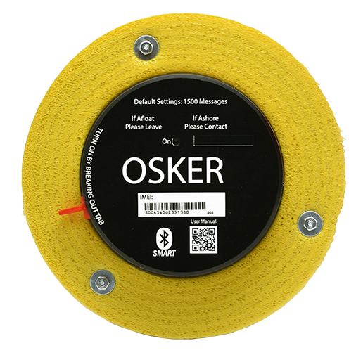
The OSKER is an Iridium GPS ocean surface current tracker designed to track ocean surface currents and oil spills.
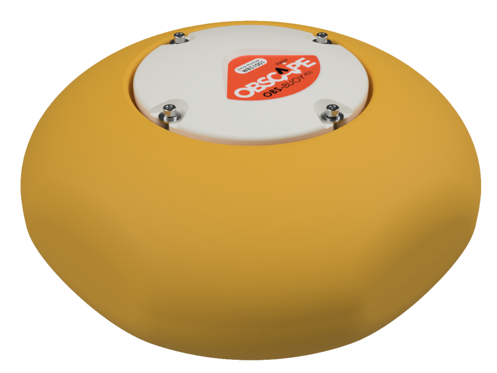
Read moreThe Obscape OBS-Buoy400 is an affordable, lightweight, and reliable metocean buoy that collects and transmits real-time full wave and sea surface temperature data.
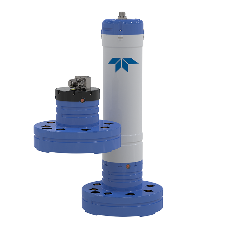
Read moreThe Pinnacle 45 is rated to a depth of 2000 m, and delivers a 1000 m current profiling range with a decreased size and weight, a game-changing swappable configuration, and...
Read moreFrom Delivery to Deployment: Building Australia’s Autonomous MCM Capability
Following the successful delivery of the first REMUS 300 systems earlier this year, BlueZone Group is continuing to build Australia’s autonomous Mine Countermeasure capability, bringing together advanced platforms, sensors, software...
Read MoreMaking Waves in the Littoral Zone: BlueZone Group at Land Forces 2026
While much of Land Forces 2026 focused on drones, land systems and emerging battlefield technologies, BlueZone Group brought something different to the exhibition floor: a comprehensive showcase of capability designed...
Read MoreHigh-Resolution Seabed Intelligence with Kraken Robotics KATFISH
See More. Survey Faster. Operate Safer. Across defence, offshore energy and marine research, the ability to survey large areas of seabed while retaining the resolution required to identify small...
Read More