
Obscape OBS-BUOY7W Wave Buoy

Setting a new Standard for Wave Measurements

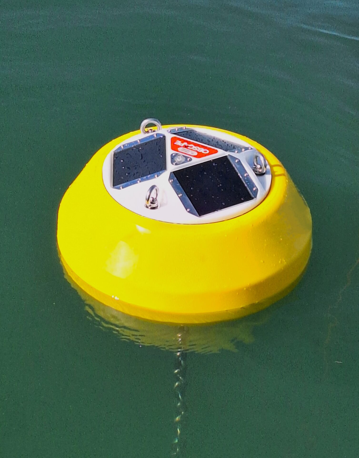
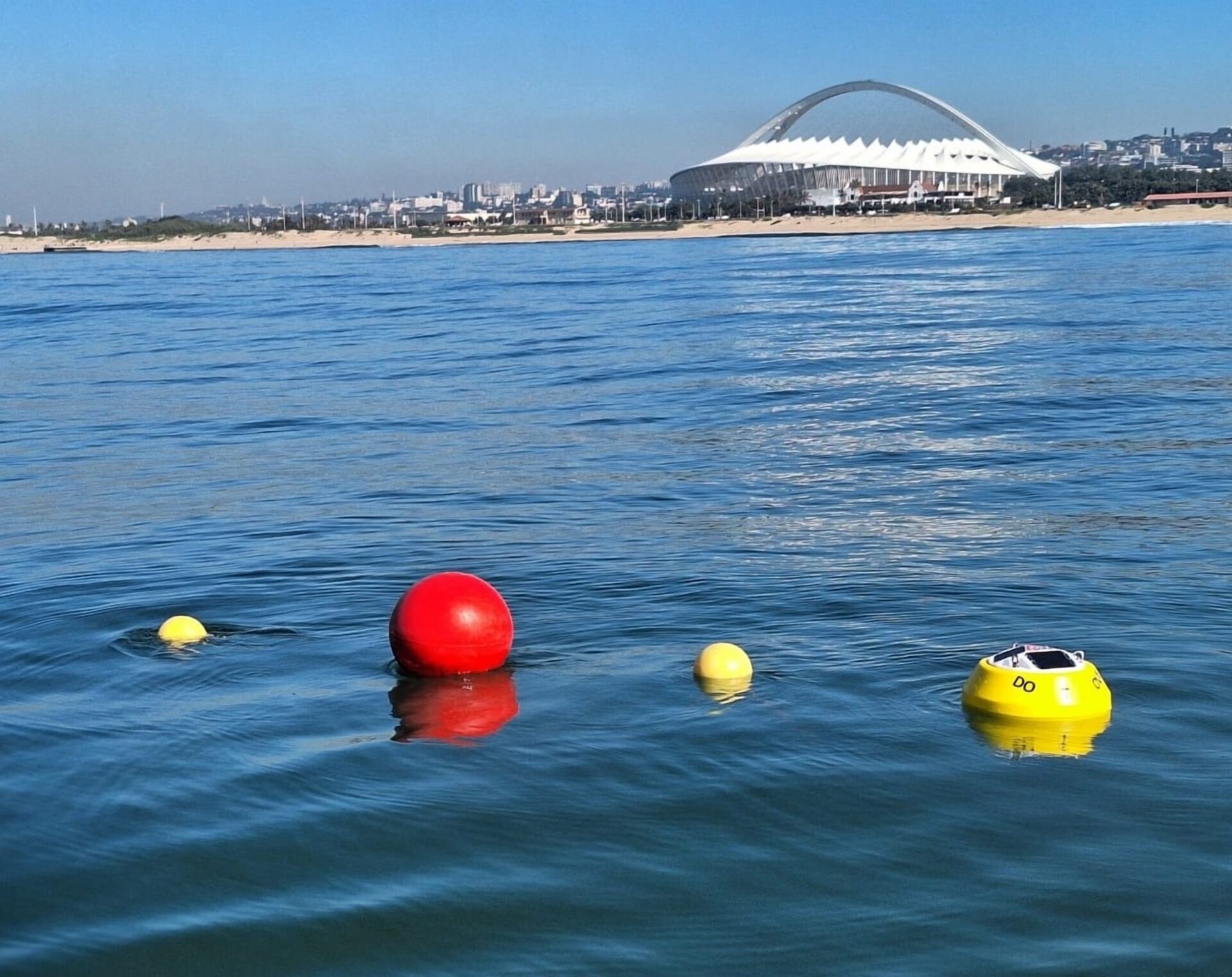
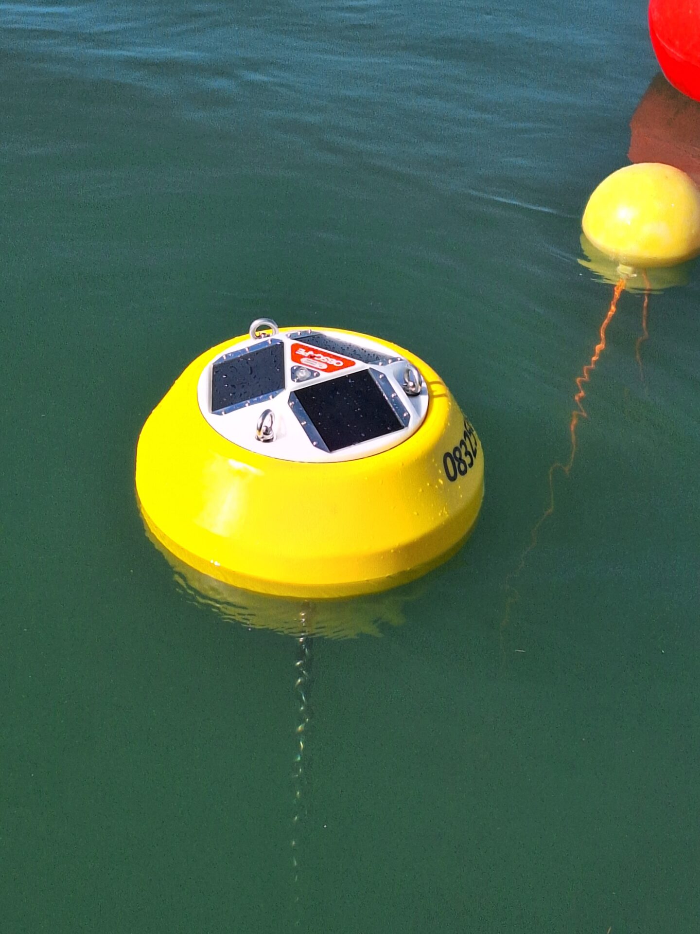
The solar-powered OBSBUOY7W will suit your wave observation needs on any project, regardless of location and budget. Accurate real-time wave data makes its way to your desktop in real-time through a robust telemetry solution ( 4G, 2G, and satellite) to the free-to-use and powerful DataPortal. The OBSBUOY7W was designed to make your life easy: no receiver station needed, solar-powered, a simple mooring solution, deployable by hand, and transportable as check-in luggage.


Cellular and Satellite communication formats give you real-time data and system updates straight to any internet-connected Smart device.  You can view and share data from the Free-to-use dashboard whenever and wherever you are.  You can even use the API to forward your data to wherever you need it.


The OBSBUOY7W Wave Buoy uses a combination of motion sensors and an electronic compass to measure the directional wave field with high accuracy. This yields the directional wave spectrum and all parameters that can be derived from it, such as the 1-dimensional energy-density spectrum and a range of bulk wave parameters (significant wave height, peak wave period, peak wave direction, etc.).


Key Features:

  • Real-time data (4G with 2G fallback & Satellite)
  • Bulk wave parameters
  • Directional wave spectrum
  • GPS position & watch circle
  •  Diagnostic temp, humidity, atmospheric pressure
  • Wireless and solar powered


Main Application Areas:

  • Work compliance monitoring
  • Marine & Coastal engineering
  • Oceanographic research
  • Environmental monitoring


Read More:

Obscape OBS-Buoy7W Datasheet


Key Features

Up to 25-hour mission duration

Speeds up to 4.2 knots

Increased module payload capacity

Search and recovery

Hydrography

Deep sea mineral exploration

Marine & Fisheries research

Product Enquiry

    Product Enquiry


    Related Articles

    REMUS on 7 News! RANs Autonomous Survey of the River Derwent

    (Video Credit: 7 News Tasmania)   The River Derwent is a vital waterway for Tasmania, supporting commercial, recreational, and defence maritime activity. The Royal Australian Navy’s Geospatial teams recently conducted...

    Read More

    Autonomous Advantage: Bayonet 250 in the Littoral Battlespace

    The surf zone remains one of the most dangerous and least understood environments in military operations, concealing mines, unexploded ordnance, and obstacles that threaten both personnel and mission success. Traditionally,...

    Read More

    From Contact Detection to Diver Deployment: Enhancing Police Search Operations with SeeByte

    Survey smarter. Investigate faster. Recover with confidence.   When police dive teams are called to investigate a submerged vehicle, recover critical evidence, or conduct a search and recovery operation, every...

    Read More