Army Hydrographic Survey in Support of Amphibious Operations
Army Hydrographic Survey in Support of Amphibious Operations
BlueZone Group has worked closely with The Australian Army on applications of the Teledyne Oceanscience “Z-Boat” for coastal and inshore hydrographic survey in support of amphibious operations. This task comes as a direct result of BlueZone participation in Army Innovation Day (AID) 2016 where the lead theme was ‘manned and unmanned teaming for the soldier.’ AID 2016 is a part of the Army Innovation Investigation Program that helps to shape Army’s capability and its approach to the challenges of modern warfighting.
The hydrographic survey capability will enable multibeam bathymetric and LiDAR survey of the coastal and riverine environment to enable safe passage and entry into the environment. The Z-Boat may be operated under remote control or in an autonomous waypoint-following mode.
The Z-Boat is a strong example of a robotic technology that takes the soldier out of the danger zone and supports manned-unmanned teaming (MuMT) for a combined army team in a joint environment. The Z-Boat can be deployed into areas of uncertain hostility and confirm or deny the presence of hostile forces to de-risk the riverine environment. For river measurement, the Z-Boat can be deployed in dangerous (e.g. flooding & fast-flowing) rivers or other rivers where hazards exist (e.g. crocodile attack or bio-hazards).
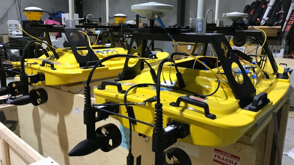
The Z-Boat was a strong example of a novel capability for in-shore and coastal bathymetric survey using the autonomous waypoint following function of the Z-Boat. Robotic and autonomous technology is a “force multiplier” for the Australian Defence Force to enable surveys to be completed more rapidly, at lower cost and with reduced risk to survey personnel. The Z-Boat is an alternative to surveys conducted from small boats that expose surveyors to long periods in the weather and risks with small boat operations, launch and recovery.
There is a significant market of light-weight and low-cost technologies developed for Unmanned Aerial Vehicle (drone) applications that provide many options for application to the Robotic Z-Boat. Miniaturisation of navigation systems such as Inertial Navigation Systems and GPS are very suitable for Z-Boat applications. Combined with sensors such as LiDAR and multi-beam sonar Z-Boats can provide a powerful capability in an easily deployed package. One example is a gimbal system used to mount a pan-tilt-zoom camera on the Z-Boat is manufactured from carbon fibre and originally designed for mounting on a UAV.
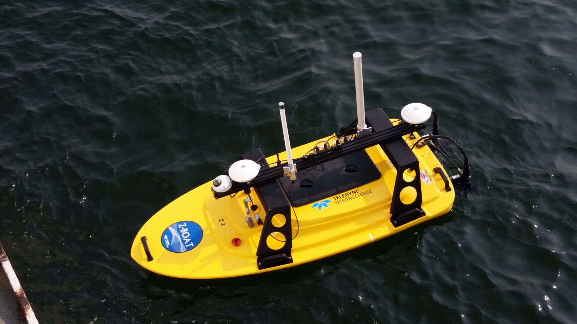 |
| Robotic Z-Boat configured for survey operation. |
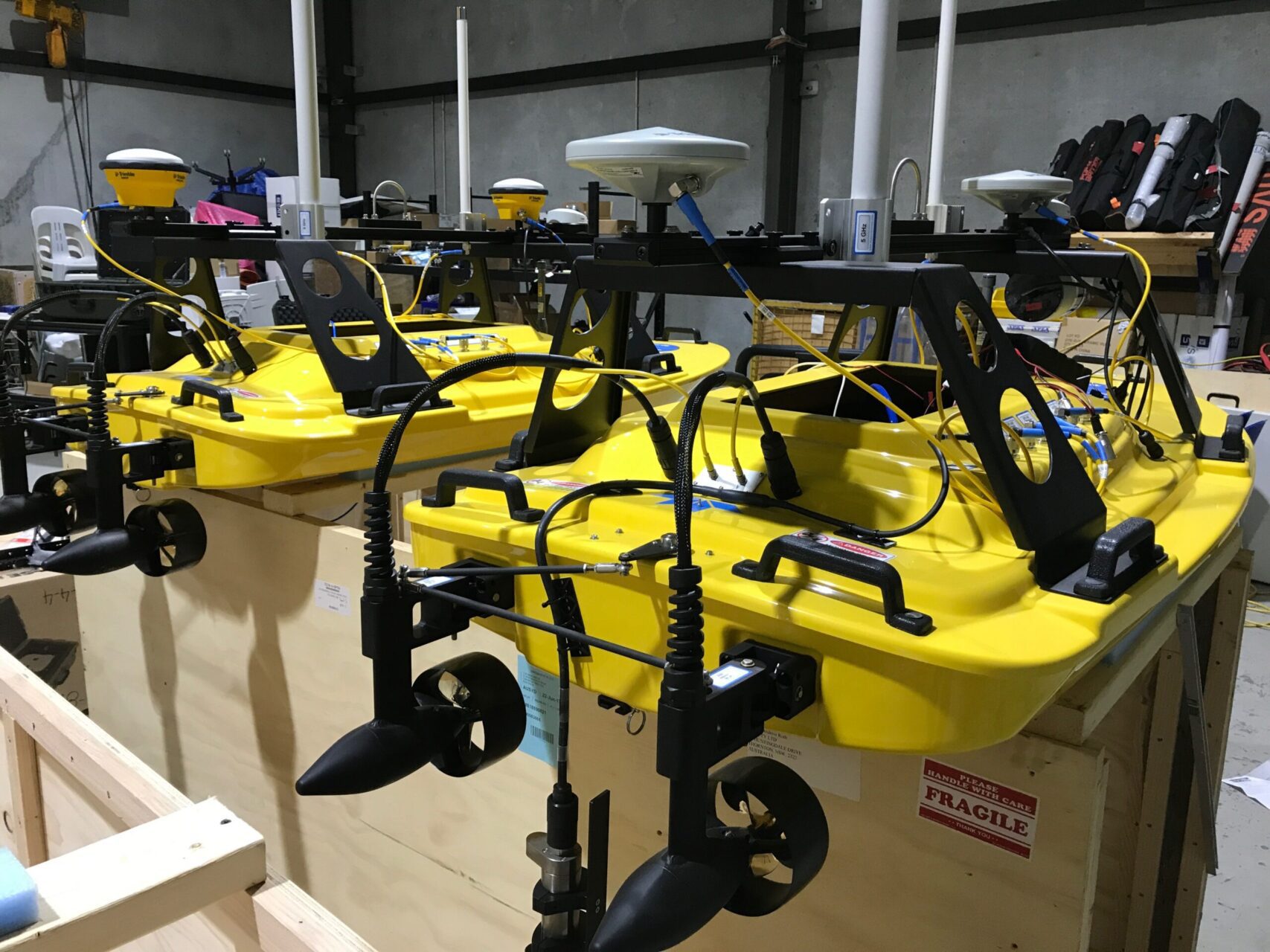 |
| Z-Boats lined-up in the BlueZone engineering workshop as systems are integrated, tested and prepared for demonstration. |

