New Features to the Teledyne RESON SeaBat® T-Series
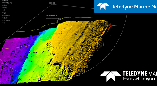
New Features to the Teledyne RESON SeaBat® T-Series Free of charge updates are easily applied with easy-to-use SeaBatUpdater Teledyne Marine has announced several new features for the world-leading multibeam echo sounders the SeaBat T20 and SeaBat T50 – the free of charge SeaBat v2.0 update and now the ability to purchase for your T20 the […]