BlueZone partners with over 50
world-leading original equipment
manufacturers and systems providers
Xeos Brixo-X
Wave Height Sensors
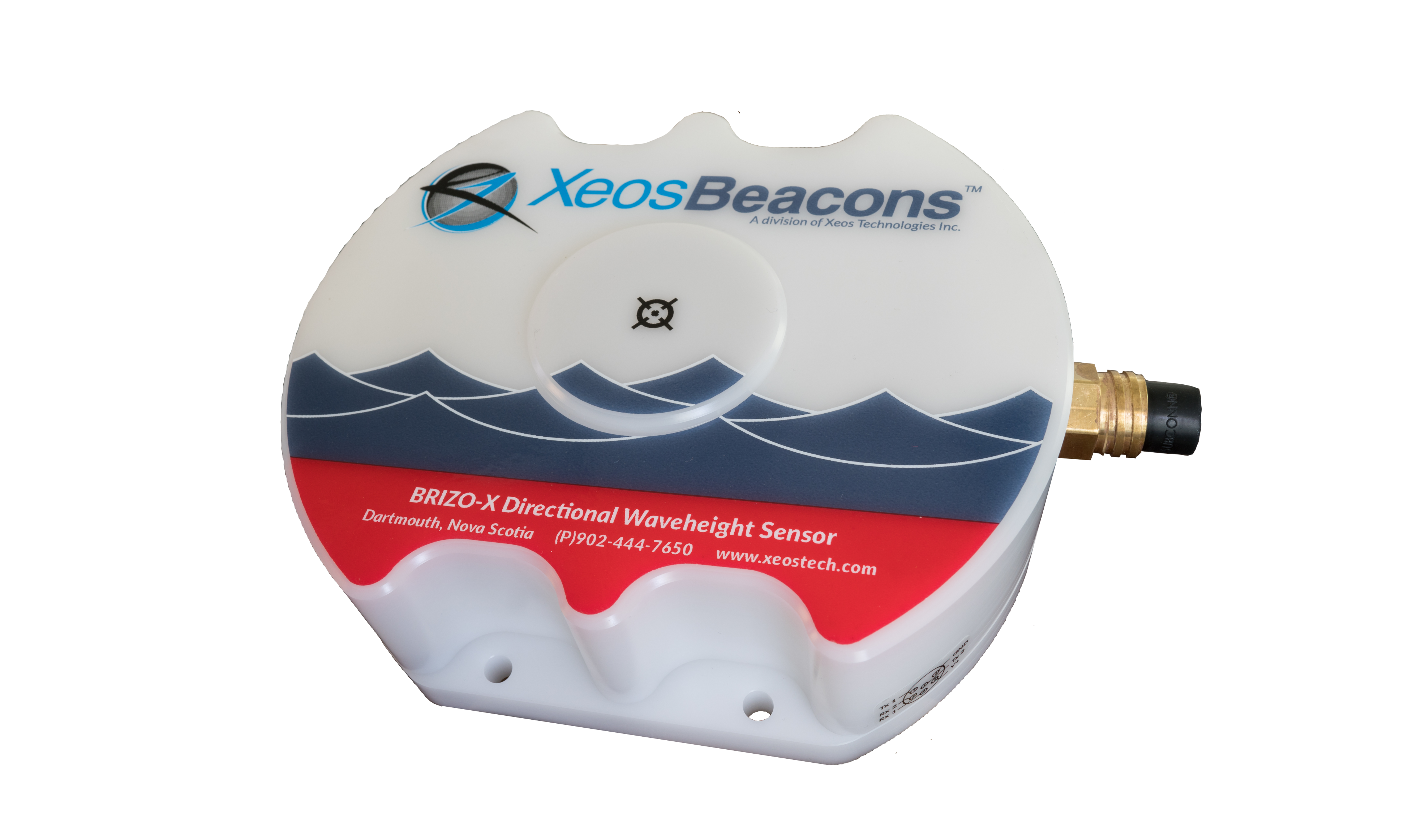
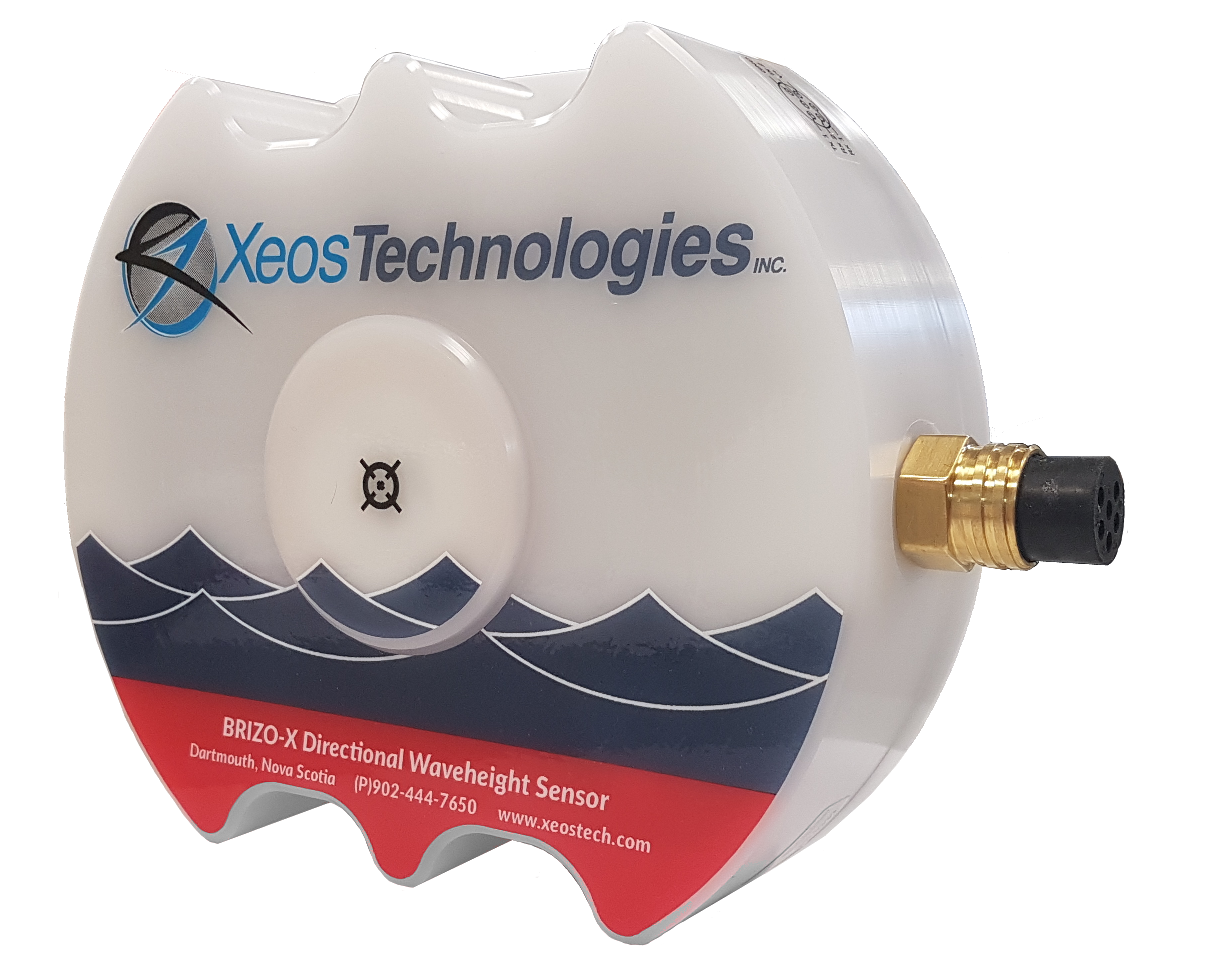
The Brizo-X Directional Wave Height Sensor utilizes Global Navigation Satellite System (GNSS) to measure wave statistics. Since the Brizo-X does not use a compass or accelerometer, no calibration is required. The sensor is housed in a fully Weather and Waterproof Enclosure for the most rugged environments. The sensor runs autonomously and can output over RS-232 or send messages over one of the embedded telemetry options available.
Key Features:
- Measures wave height & direction
- Wave Motion Sensor using GPS and GLONASS, L1 & L2 Signals
- Integral GNSS Antenna for ease of deployment
- EasyGO Deployment: Activate, Mount, Power
- Fully Weather and Waterproof Enclosure, for the most rugged environments
- Internal Logger
Read More:
Contact the team at BlueZone for more information.
Key Features
Up to 25-hour mission duration
Speeds up to 4.2 knots
Increased module payload capacity
Search and recovery
Hydrography
Deep sea mineral exploration
Marine & Fisheries research
Product Enquiry
Related products
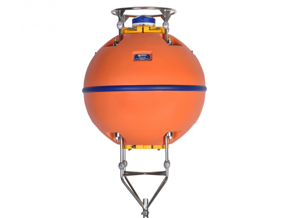
DeepWater Buoyancy understands the value of data recovery, as well as, ADCP technology, oceanographic operations and what it takes to supply products that ensure success.
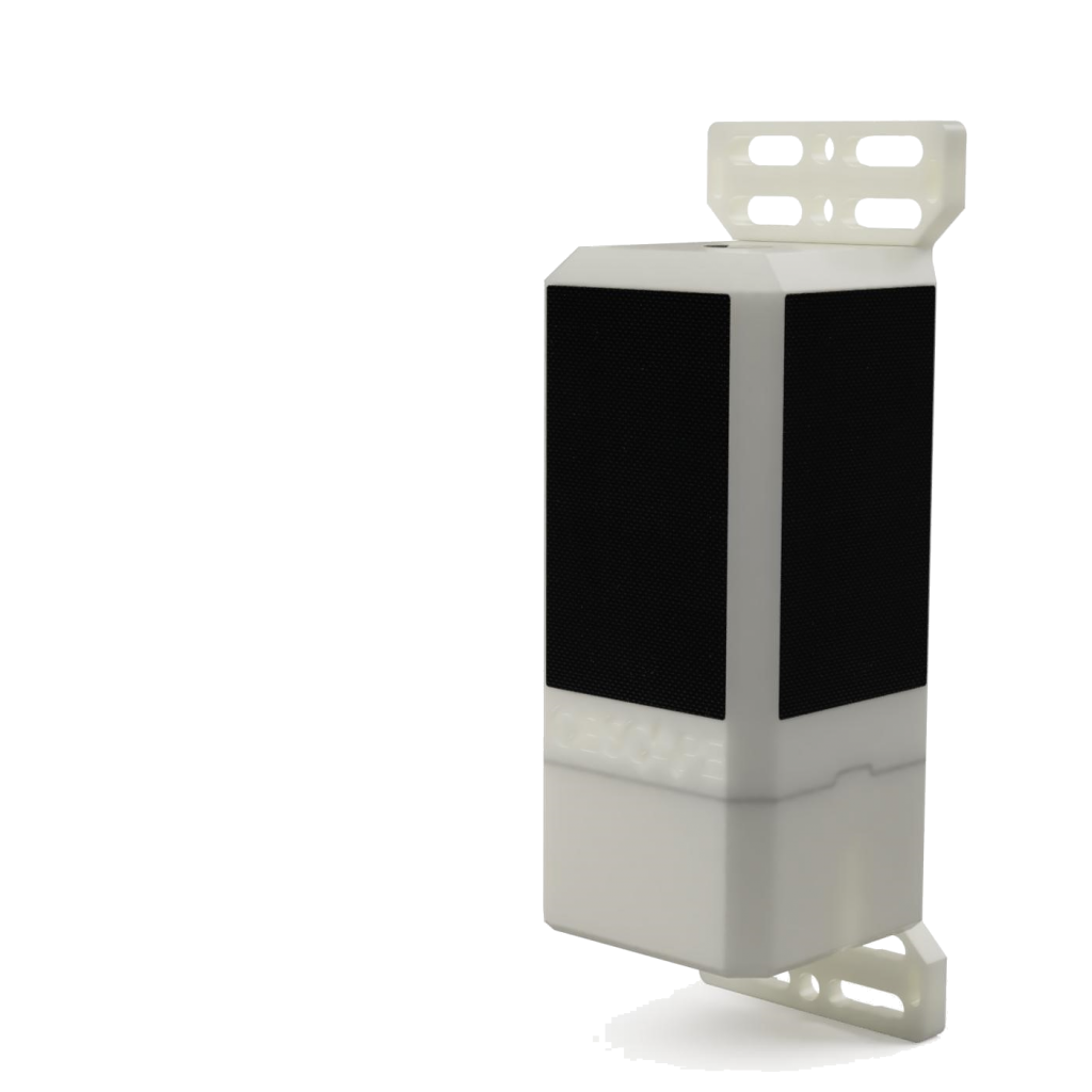
Read moreWhether you are interested in tidal water level variations, stormwater runoff, or storage basin volumes, the Obscape Level Gauge will suit your needs.
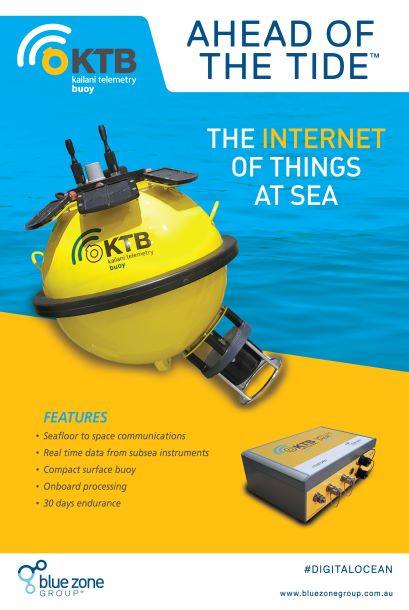
Read moreThe Kailani Telemetry Buoy (KTB) implements seafloor to space communications for ocean floor instruments.
Read moreRelated Articles
Precision Under Pressure: BlueZone’s Eight‑Day Subsea Success
Eight Days, Ten Cables, One Epic Holiday Turnaround While most businesses were winding down for the holidays, BlueZone was powering up. As December 2025 raced toward Christmas, our workshop...
Read MoreRapid, Reliable, Ready: The Littoral Riverine Survey System in Defence Hydrography
When military operations hinge on understanding what lies beneath the waves, deployable hydrographic survey systems like the LRS become essential tools for safe, informed decision‑making. Military hydrographic...
Read MoreKraken MP‑SAS: Portable Synthetic Aperture Sonar for Modern Maritime Missions
With Kraken’s MP‑SAS and BlueZone Group’s trusted in‑country support, Australian operators can now access a proven, portable SAS solution built for modern maritime missions. As the demand...
Read More
