
Brizo Wave Monitoring & Tide Gauge using GNSS
Measure Both Wave Height and Direction
The Brizo is a highly accurate (1 cm, 3°) directional wave height sensor for placement on moored buoys. Utilizing the lowest power, all signal Global Navigation Satellite System (GNSS) receiver for measurements, the Brizo can relay parameters and spectra for wave periods of 1.6 to 33 seconds on a <1 W power budget. The Brizo has optional integrated telemetry options that suit your deployment along with built in data logging. The communication modules along with the GNSS antenna allows for simple sensor addition to existing oceanographic and navigation buoys, adapting them as wave measuring modules.
Key Features
- Measure both wave height and direction
- Low power, GNSS multi frequency, multi signal receiver
- Optional telemetry: Radio, Cellular, Iridium
- Internal logging: 2x 4 GB SD Cards
Data Outputs
- Wave Statistics: Max Wave Height, Significant Wave Height, Average, Wave Height, Peak Period, Mean Wave Direction, Mean Spread,These are frequently used wave stats but not a complete list.
- Wave Spectra: Directional wave spectra with 32, 64, 128 bins
- Data Output Rate: fully configurable
Electrical
- Input Voltage: 9-27 VDC
- 0.75W – 1.3W Setting Dependent
- Operating temperature: -40°C to +60°C (standard)
- Supports a wide range of GNSS and Choke Ring External Antennas
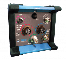

Related products
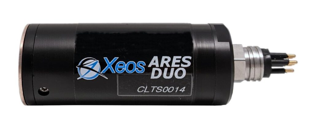
The Xeos Ares Duo is an all-in-one turbidity and chlorophyll-a sensor designed for easy integration to measure key water quality parameters.
Read more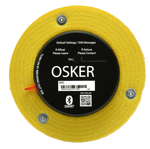
The OSKER is an Iridium GPS ocean surface current tracker designed to track ocean surface currents and oil spills.
Read more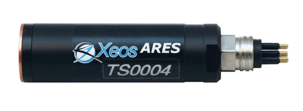
The Ares Turbidity Sensor features state-of-the-art technology for measuring water clarity for environmental water quality monitoring, oceanographic research, marine operations, and aquaculture monitoring.
Read more