REMUS on 7 News! RANs Autonomous Survey of the River Derwent
(Video Credit: 7 News Tasmania)
The River Derwent is a vital waterway for Tasmania, supporting commercial, recreational, and defence maritime activity. The Royal Australian Navy’s Geospatial teams recently conducted detailed hydrographic surveys to produce the most accurate map of the riverbed ever created, helping ensure safe navigation for all vessels operating in the region.
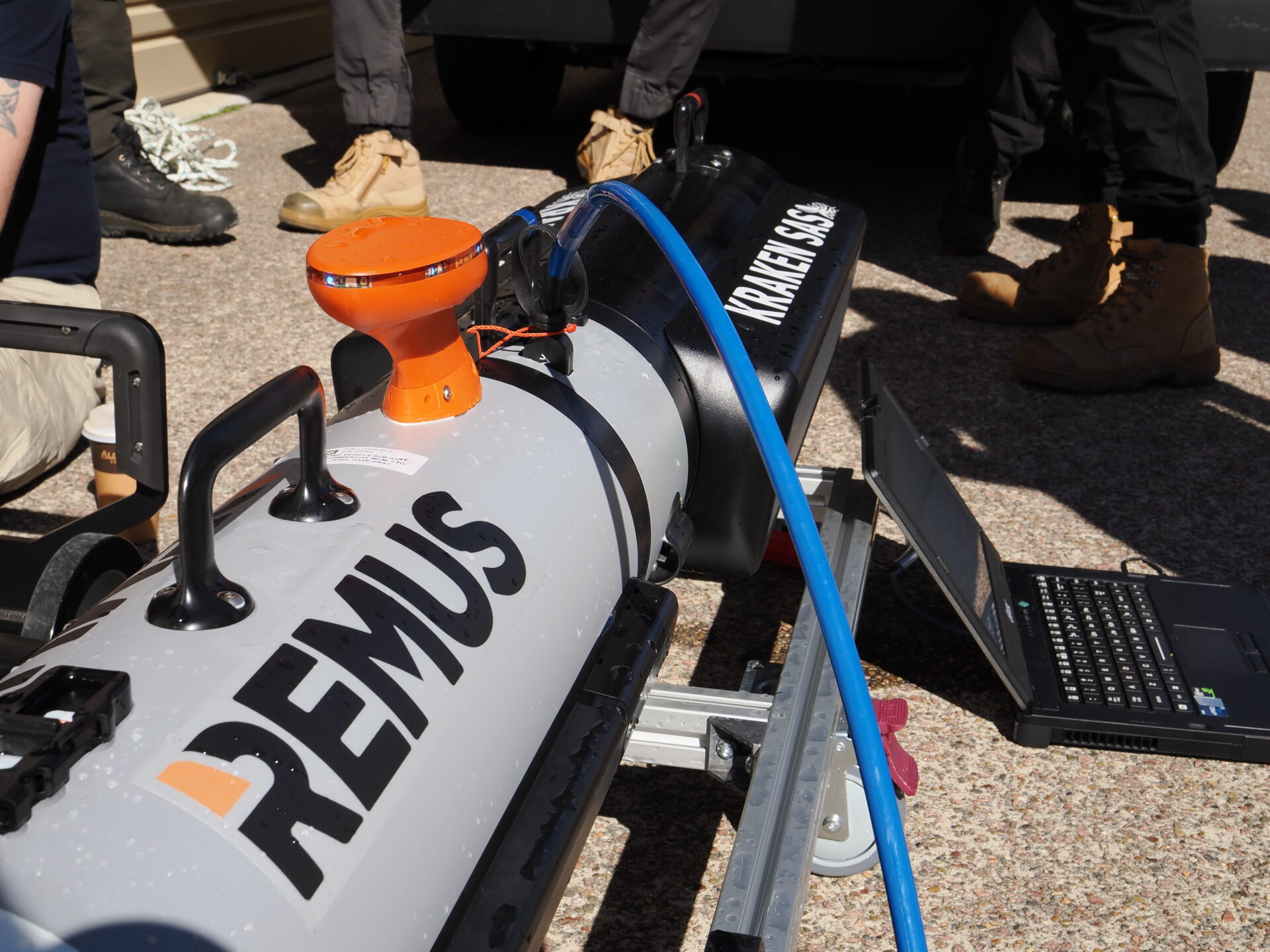
To collect this data, the team deployed HII’s REMUS uncrewed underwater vehicles, equipped with Kraken Synthetic Aperture Sonar (SAS), the system produces ultra-high-resolution seabed imagery over wide area coverage, enabling operators to detect, classify, and identify small seafloor objects with exceptional clarity while surveying far larger areas than traditional side-scan sonar.
The survey highlights the increasing role of autonomous technologies in modern maritime operations, enabling faster, safer, and more efficient data collection. From supporting navigation safety to providing critical environmental and geospatial intelligence, capabilities such as the HII REMUS AUV family continue to demonstrate the value of autonomous systems in advancing hydrographic survey and maritime domain awareness.
Check out HII’s REMUS UUVs on 7 News Tasmania!