BlueZone partners with over 50
world-leading original equipment
manufacturers and systems providers
Level Gauge
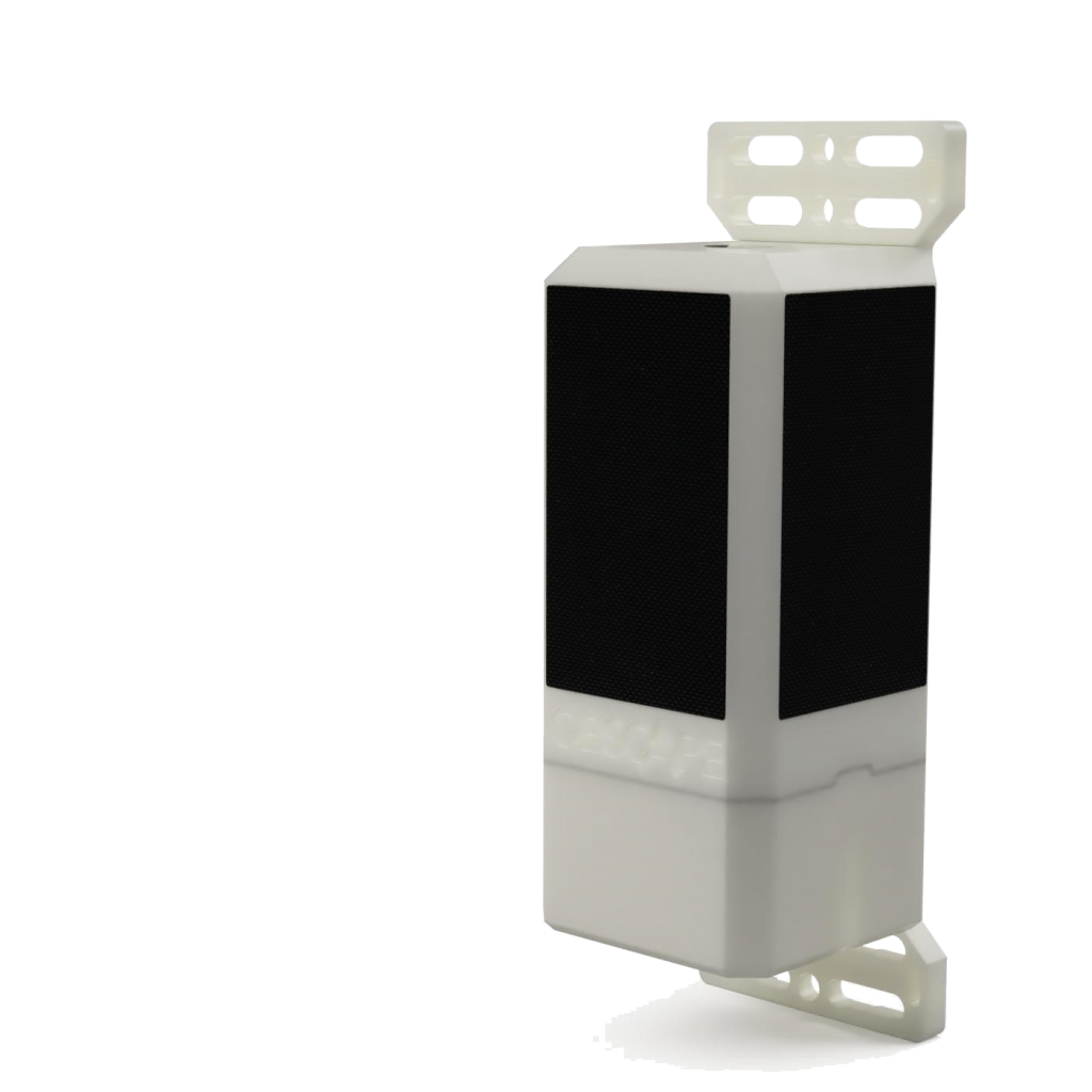
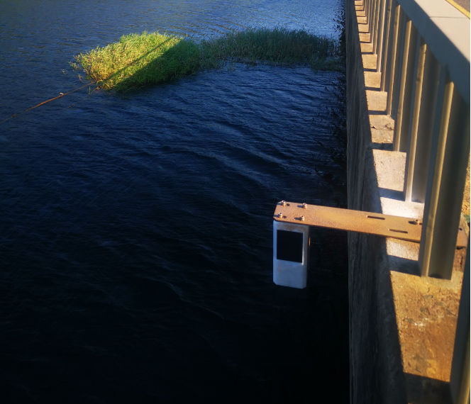
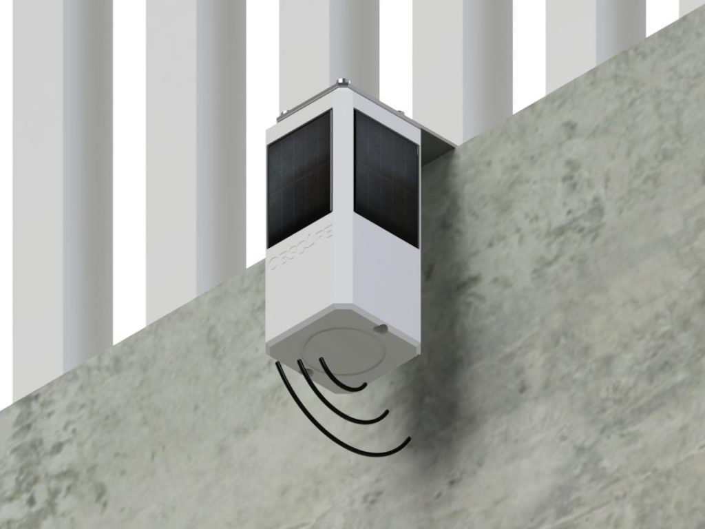
Obscape’s Level Gauge delivers real-time water level measurements. It records the water level using a highly accurate radar sensor. Since the instrument is mounted above the water surface, deploying it in the field is easy. Water level monitoring plays an important role in monitoring natural or man-made water systems. The Level Gauge is suitable for application in ports, rivers, estuaries, canals, manholes, and storage basins. The instrument measures the distance to the water surface using an industry-standard radar sensor. It is mounted above the water surface, which avoids costly and labour-intensive underwater operations. The 40-metre range of the Level Gauge will cover even the most extreme water level variations.
Key Features:
- Accurate water level data
- Radar technology
- No underwater components
- Real-time data
- Solar powered
Read More:
Key Features
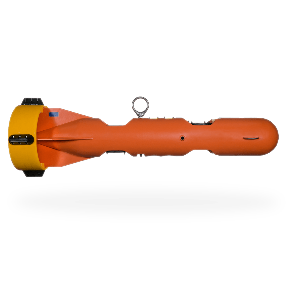
Up to 25-hour mission duration
Speeds up to 4.2 knots
Increased module payload capacity
Search and recovery
Hydrography
Deep sea mineral exploration
Marine & Fisheries research
Product Enquiry
Related products
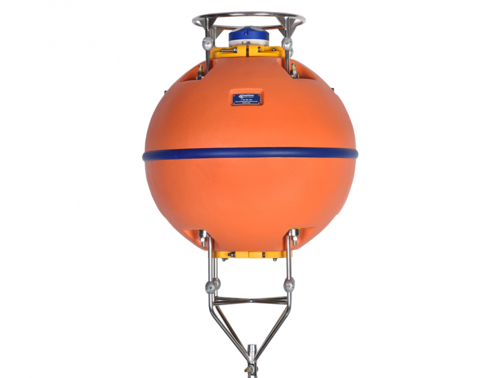
DeepWater Buoyancy understands the value of data recovery, as well as, ADCP technology, oceanographic operations and what it takes to supply products that ensure success.
Read moreDeepwater Buoyancy StableMoor® Mooring Buoys
Specifically engineered for high current applications, the StableMoor® is designed to reduce drag and increase mooring stability in extreme flow regimes. By decreasing frontal area (compared to our standard spherical...
Read moreBlueZone has worked with many customers to specify and supply Teledyne Benthos components for projects Australia-wide. Teledyne Benthos acoustic modems, acoustic releases and pop-up buoys have been supplied for projects...
Read moreRelated Articles
Precision Under Pressure: BlueZone’s Eight‑Day Subsea Success
Eight Days, Ten Cables, One Epic Holiday Turnaround While most businesses were winding down for the holidays, BlueZone was powering up. As December 2025 raced toward Christmas, our workshop...
Read MoreRapid, Reliable, Ready: The Littoral Riverine Survey System in Defence Hydrography
When military operations hinge on understanding what lies beneath the waves, deployable hydrographic survey systems like the LRS become essential tools for safe, informed decision‑making. Military hydrographic...
Read MoreKraken MP‑SAS: Portable Synthetic Aperture Sonar for Modern Maritime Missions
With Kraken’s MP‑SAS and BlueZone Group’s trusted in‑country support, Australian operators can now access a proven, portable SAS solution built for modern maritime missions. As the demand...
Read More