MARKETS
Case Study: Wave Monitoring for Darwin Harbour
We are an Australian company with a growing international reputation
focusing on the design and servicing of high quality underwater
electronics used in harsh environments.
Wave Monitoring for Darwin Harbour
The Australian Institute of Marine Science (AIMS) successfully installed a Wave Monitoring System at the entrance to Darwin Harbour.
The Wave Monitoring System was comprised of a Teledyne RDI Workhorse Sentinel Acoustic Doppler Current Profiler (ADCP) operating at 600kHz and equipped with NEMO waves. The ADCP was bottom mounted and a Teledyne Benthos ATM916 acoustic modem was used to communicate ADCP data through water to a topside NextG modem that transmitted data to the AIMS website for display.
The ADCP was selected primarily to provide full profile 3D current data. The following data is alos measured by the system: pressure (depths), velocity, waves, turbidity, chlorophyll-a, salinity, temperature, wind speed and direction, air temperature, humidity, rain; and barometric pressure.
Using a bottom-mounted ADCP instead of a buoy provided the important advantage that there was no hazard presented to navigation. The ADCP was able to profile currents and process directional wave spectra simultaneously while maintaining low power consumption. Lessons learned from previous buoy installations showed that as well as being a hazard to navigation a buoy system would require frequent cleaning due to fouling by tropical birds. The combined ADCP and Acoustic Modem installation has been very reliable with service only required every six months.
Data is available from the system to any scientist or engineer in the world who wants to use it. Data will be made available from the AIMS website and in the future to the IMOS data portal. Data is also used by the Darwin Port Corporation who use it to assist in navigation of Panamax and LNG bulk carriers as well as other vessels. The data is planned to be incorporated into the Dynamic Under Keel Clearance Systems (DUKC) to assist in providing accurate modelling and prediction of vessel under keel clearance. Data is also available to the general public for recreational boating and trip planning.
Future plans for similar systems are for conversion of a subsurface system has been deployed north of Darwin in the Beagle Gulf. It is proposed that it will be converted to a near real time system with the installation of a surface buoy and Iridium satellite modem.
Featured Products
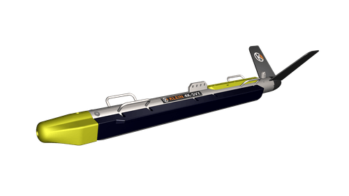
Klein's 4K SVY dual frequency side scan sonar was designed for use in offshore energy survey operations and is compliant with BOEM, US and European Offshore Renewable Energy, NOAA, IHO...
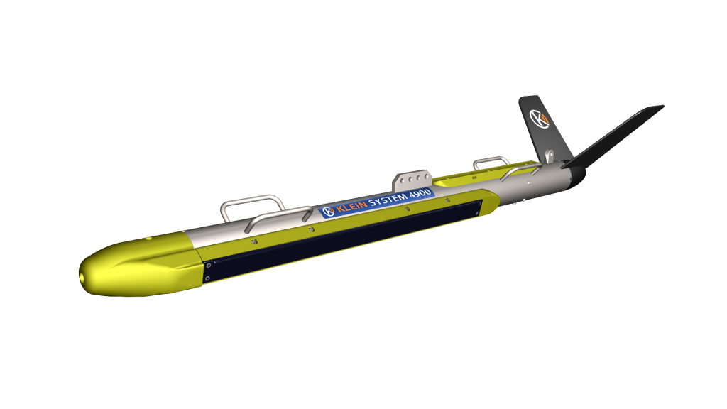
Read moreThe Klein System 4900 is a versatile Side Scan Sonar that can be used for many different survey, search and recovery applications. The system is easy to operate, dual frequency...
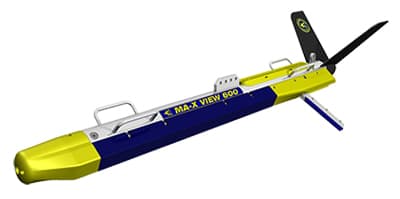
Read moreKlein Marine Systems introduces the industry’s first integrated side scan and gap filler sonar for high resolution, efficient surveys. MA-X VIEW 600 side scan sonar delivers unprecedented focused 600kHz imagery at...
Read more


