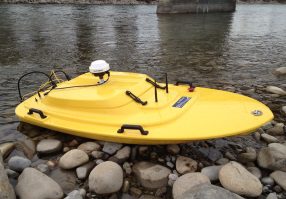
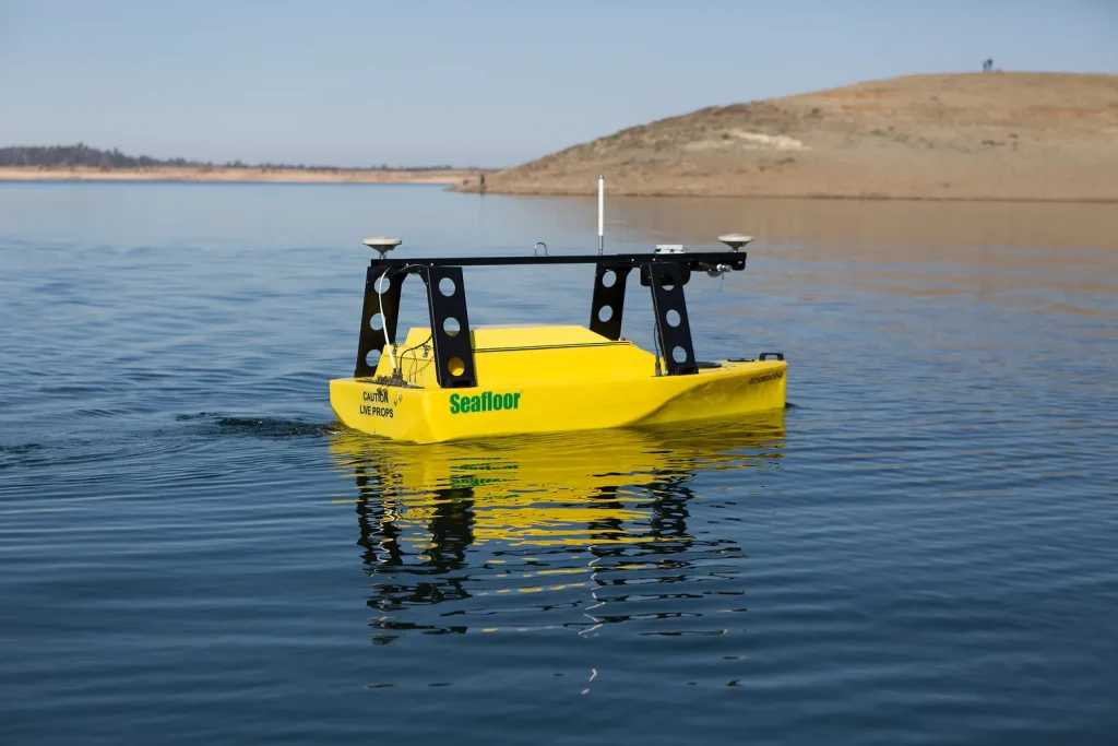
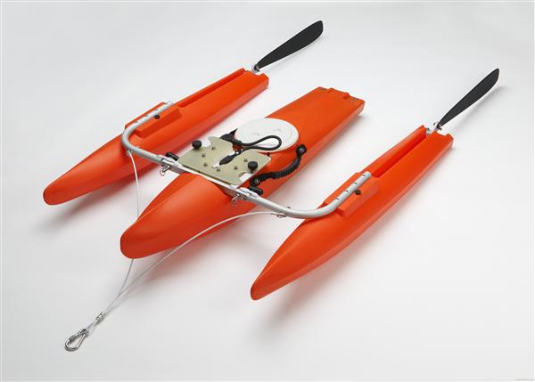
Oceanscience remote control Q-Boats for ADCP deployment during river velocity profiling and discharge monitoring offer the ultimate in survey flexibility and personnel safety. No busy highway bridge is needed at the survey location, no people need to be out on dangerous flood waters to take the measurement, and no cableway is necessary. Instead of being determined by accessibility, Q-Boat survey locations can be selected to give the best results possible. Configurations for multiple ADCP types are available, and all boats are easily customised for special projects.
The Oceanscience Q-Boat is a robotic vessel that enables water resource professionals to quickly, accurately, and safely collect and analyse river data. Survey technicians are able to stay safe and dry on shore while the Q-Boat travels through a water body collecting geo-referenced ADCP data.
Instead of mobilising a manned boat or putting people on the water in a hazardous location survey, simply launch the Q-Boat and start gauging the river immediately. The Q-Boat ADCP and GPS are integrated with a radio modem data transmission system allowing the operator to view the boat track in real time on the shore laptop. Not only can data be reviewed as it is collected, but survey lines can be easily followed with help from the laptop display.
The Q-Boat’s portable design makes it quick and easy to transport from river to river by a single technician that also helps speed up the survey process and lower costs.
Versatile remote ADCP instrumentation boat
• Affordable remote control convenience for ADCP surveys
• Reliable single outdrive design
• Easy to control
• Upgradeable for extended range and high endurance