Port Stephens Seafloor Revealed
Port Stephens Seafloor Revealed
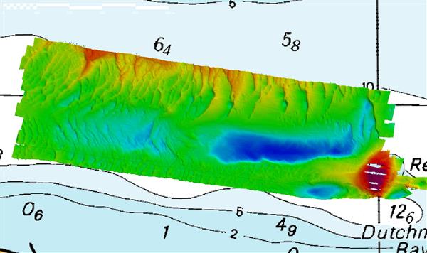
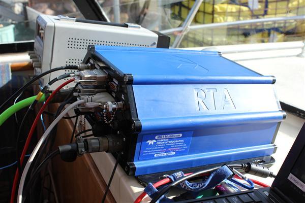
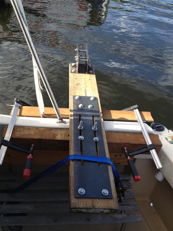
The structure of the Port Stephens seafloor has been revealed using the portable Teledyne MB1 multibeam echo sounder in a demonstration conducted by BlueZone. A BlueZone team supported by Michael Redmayne (Teledyne Odom Hydrographic) conducted a survey of the seafloor near Dutchman’s Bay, using a small boat. The MB1 was easily adaptable to mount on the boat, using a multi-fit boat mount developed by BlueZone. The results of the survey were used to rapidly generate an intuitive 3D model, showing the seafloor detail down to sand ridging and bottom scouring from tidal action.
With a fast and easy setup on a small boat, the MB1 was ready for operation within hours of arrival at Port Stephens by the BlueZone team, led by Mark Hegarty (General Manager, Victoria). Mark is a hydrographic survey professional with many years of experience in the operation of all types of hydrographic equipment. “The MB1 provides a powerful and yet intuitive way to conduct seabed surveys”, said Mark, “with the ease of set up and powerful user interface, it will suit many organisations that need information on the seabed structure”.
The demonstration was well attended with many delegates requesting further information on the MB1. The MB1 was developed by Teledyne Odom Hydrographic “from the ground up”, to provide many of the features of a large, expensive multibeam echo sounder into a compact and easy to operate unit.


