Maritime Geospatial Warfare Unit Field-ready
The Navy news reports that three new specialists of the Maritime Geospatial Warefare Unit teams have been declared mission-ready, following an intense assessment exercise in Queensland.
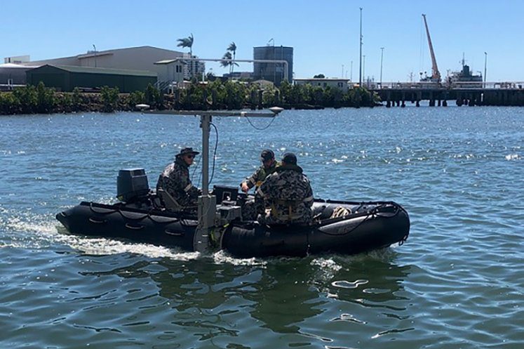
Deployable Geospatial Survey Teams 3 and 4 and the Mobile Meteorological Team 3 from the Navy’s Hydrographic, Meteorological & Oceanographic Group (HMGRP), were tested during a simulated humanitarian aid and disaster relief operation at HMAS Cairns, providing their readiness to deploy at short notice and work together to complete a complex survey in the field.
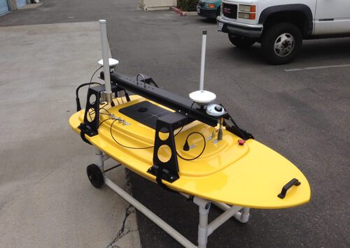
BlueZone has been please to support the establishment of the new capability for the Navy, through training conducted on systems and equipment comprising the Fly Away Survey Kit (FASK) for Project SEA1770 Rapid Environmental Assessment. The FASK equipment provides Deployable Geospatial Survey Teams, with the latest technology to support the survey of landing zones, choke points and other areas of threat to seaborne forces. Fly Away Survey Kits are designed for rapid deployment to operational areas in small boats, providing a Wideband Multi beam Sonar System, to supplement existing Navy Single beam Echo Sounder and Side Scan Sonars.
Read More:
SEA1770 Training Conducted at HMAS Penguin
Sea1770 Rapid Environmental Assessment


