BlueZone partners with over 50
world-leading original equipment
manufacturers and systems providers
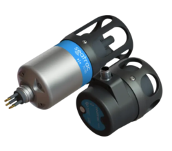
Blueprint SeaTrac System
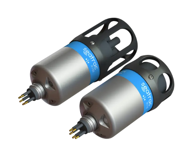
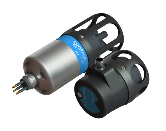
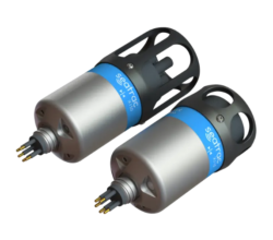
Blueprint SeaTrac range consists of three beacon systems:
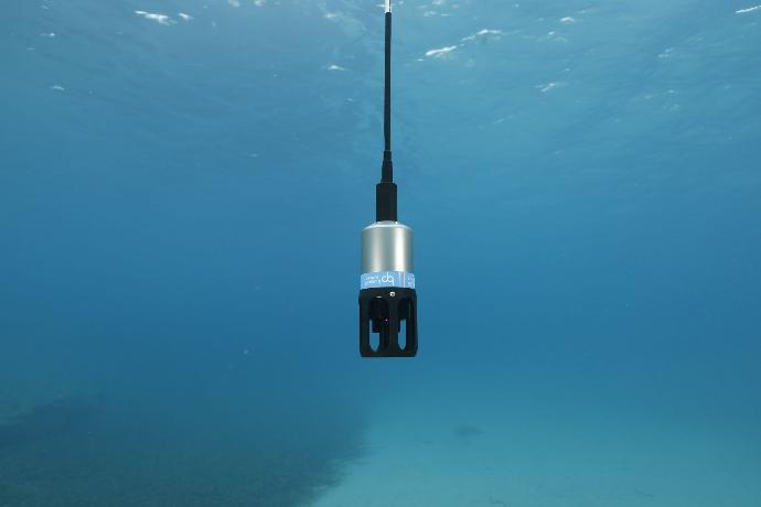
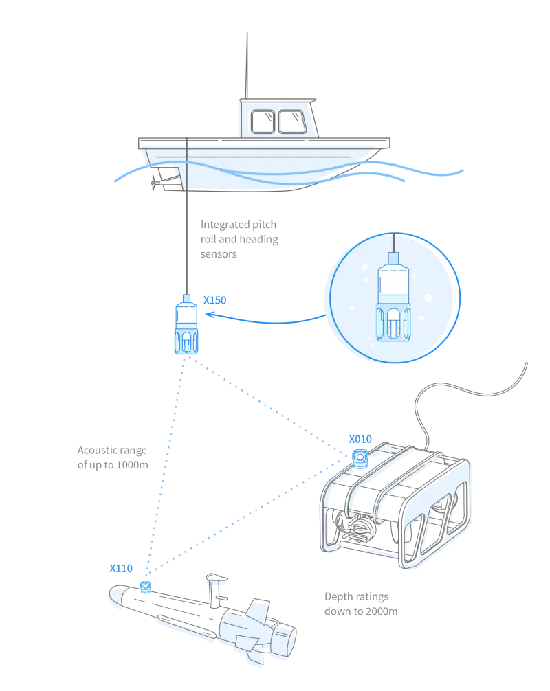
The Blueprint SeaTrac system provides the location of your in-water assets through a range of high-accuracy USBL acoustic positioning systems for real-time ROV, AUV, and diver tracking. The SeaTrac system provides reliable positioning data even in the most challenging environments.
SeaTrac Standard – The SeaTrac Standard system contains both an X150 USBL beacon and an X110 transponder beacon to track the position of ROVs and AUVs in real-time to a depth of 2000m.
SeaTrac Lightweight – The SeaTrac Lightweight systems contain both an X150 USBL beacon and an X010 beacon, suited to track ROVs and AUVs in real-time down to a depth of 300m.
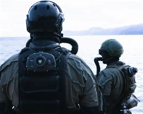
SeaTrac D010 Diver Beacon – The SeaTrac D010 Diver Beacon is a compact, rugged, and highly reliable diver‑mounted acoustic beacon designed to deliver real‑time tracking, status monitoring, and mission awareness for underwater operations. Paired with a topside USBL control system, the D010 provides precise diver positioning, depth data, and configurable alerts to enhance safety and operational efficiency.
Engineered for demanding subsea environments, the D010 integrates wireless charging, intuitive configuration, and a robust alarm system making it an ideal solution for commercial diving, defence, scientific research, and emergency response teams requiring dependable underwater situational awareness.
Read More:
Contact BlueZone or go to Blueprint Subsea SeaTrac for more information.
Key Features
Up to 25-hour mission duration
Speeds up to 4.2 knots
Increased module payload capacity
Search and recovery
Hydrography
Deep sea mineral exploration
Marine & Fisheries research
Product Enquiry
Related products
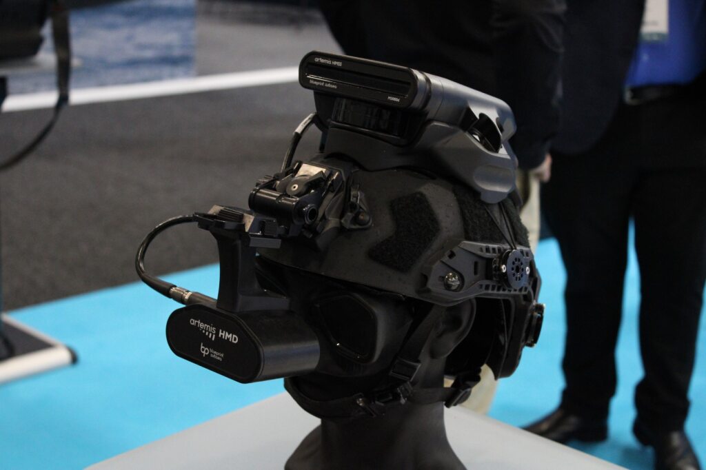
The Artemis IRIS is a next-generation helmet-mounted sonar imaging system engineered for divers operating in extreme underwater conditions.
Read moreArtemisSAR (Search and Rescue)
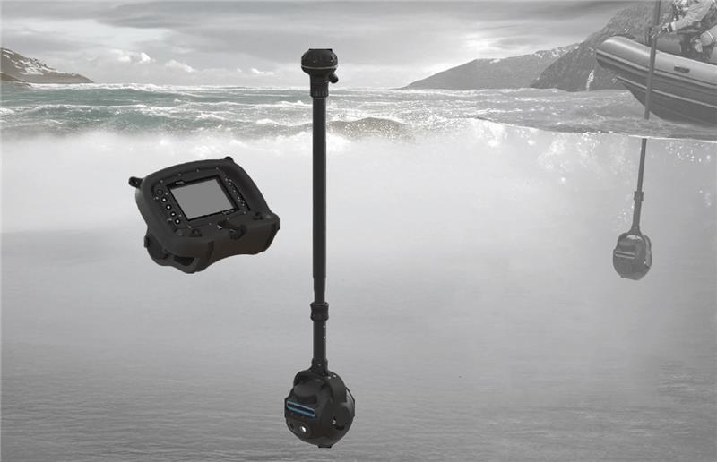
The ArtemisSAR by Blueprint Subsea is a purpose‑built rapid‑response system engineered for time‑critical Search and Rescue (SAR) operations.
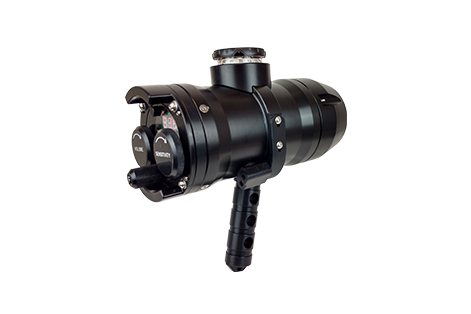
Read moreThe DPR-275 Diver Pinger Receiver is a small and rugged handheld diver acoustic receiver with an LCD display and signal strength meter that can track and locate any acoustic pinger...
Read moreRelated Articles
Precision Under Pressure: BlueZone’s Eight‑Day Subsea Success
Eight Days, Ten Cables, One Epic Holiday Turnaround While most businesses were winding down for the holidays, BlueZone was powering up. As December 2025 raced toward Christmas, our workshop...
Read MoreRapid, Reliable, Ready: The Littoral Riverine Survey System in Defence Hydrography
When military operations hinge on understanding what lies beneath the waves, deployable hydrographic survey systems like the LRS become essential tools for safe, informed decision‑making. Military hydrographic...
Read MoreKraken MP‑SAS: Portable Synthetic Aperture Sonar for Modern Maritime Missions
With Kraken’s MP‑SAS and BlueZone Group’s trusted in‑country support, Australian operators can now access a proven, portable SAS solution built for modern maritime missions. As the demand...
Read More
