Aquaculture

Teledyne RDI Workhorse Sentinel ADCP: A Proven Solution for Deep-Water Oceanographic Moorings

For ocean scientists seeking long-term, high-quality current measurements in the deep ocean, the Teledyne RDI Workhorse Sentinel 300 kHz ADCP with a 6000 m depth rating remains one of the most trusted and widely deployed Acoustic Doppler Current Profilers available. Designed as a self-contained instrument, the Sentinel combines proven Doppler technology, low power consumption, and […]
Read More

Safeguarding Critical Subsea Assets with RJE Beacons

Ensuring Recoverability in High-Value Underwater Missions.   The Importance of Subsea Asset Tracking Modern subsea operations rely on increasingly sophisticated autonomous and remotely operated technologies. From mine countermeasure missions and offshore energy inspections to hydrographic surveys and scientific research, Autonomous Underwater Vehicles (AUVs) and Remotely Operated Vehicles (ROVs) are expanding what is possible beneath the […]

Read More

Global Innovation, Local Expertise: The SeaBat T51 R and BlueZone Partnership

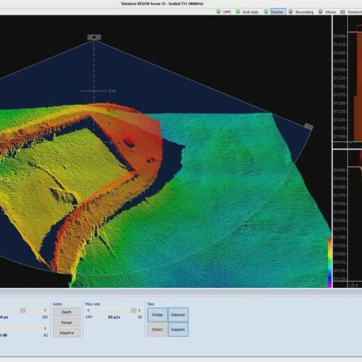
In a field where accuracy is everything, the SeaBat T51‑R emerges as the ultimate tool—pairing Teledyne’s world‑leading innovation with BlueZone’s trusted regional expertise.   As hydrographic surveying demands higher accuracy, faster data acquisition, and more efficient workflows, Teledyne Marine continues to set the global benchmark for multibeam echosounder technology. The Teledyne RESON SeaBat T51‑R represents […]

Read More

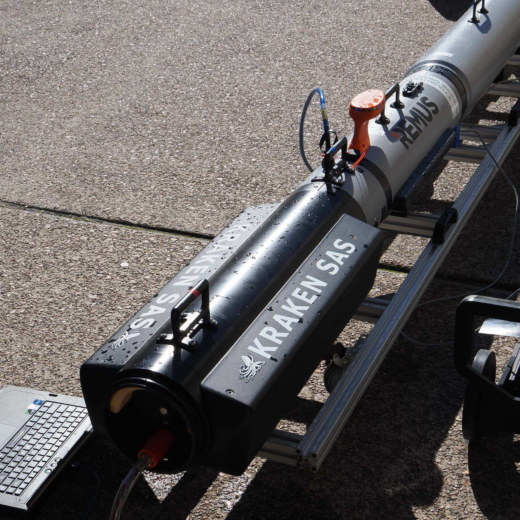
The Future of Mine Warfare: Faster Detection, Safer Operations, Greater Coverage with Kraken SAS

Faster Mine Detection. Safer Naval Operations.   For decades, naval mines have remained one of the most effective and affordable maritime threats. Capable of disrupting sea lines of communication, delaying military operations, and threatening critical infrastructure, mines present a challenge far disproportionate to their cost. While naval platforms continue to evolve, the task of detecting […]

Read More

A Legacy of Defence Support. A Future of Service Capability.

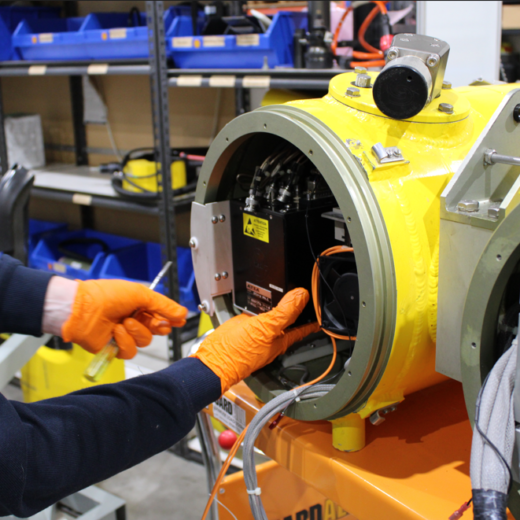
From mine warfare systems to advanced oceanographic sensors, Australia’s underwater capability relies on more than cutting-edge technology; it depends on the expertise that keeps it operational.   In an environment where equipment reliability directly impacts safety, mission success, and operational effectiveness, access to responsive local support is critical. BlueZone Group has built its reputation on […]

Read More

Delivering the Future of Mine Countermeasures: BlueZone Group Brings Integrated Capability to Australia

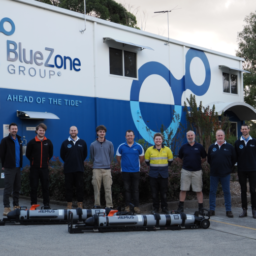
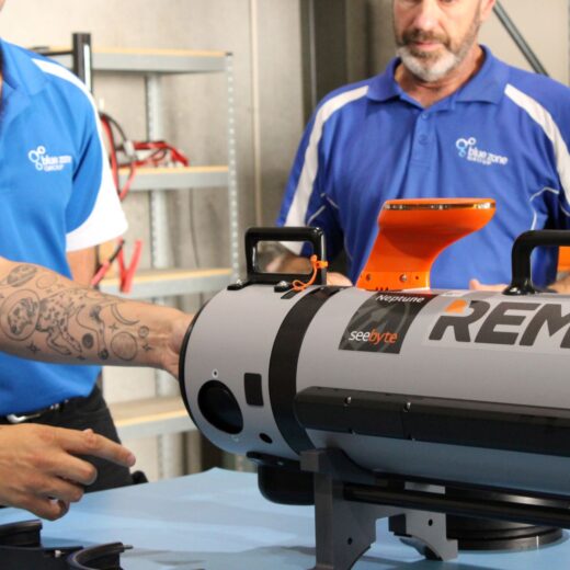
How REMUS, Kraken SAS and SeeByte software are shaping the future of autonomous MCM operations.   For more than 25 years, BlueZone Group has been introducing world-leading maritime and defence technologies into Australia, building a reputation as a trusted Defence partner that not only delivers capability but sustains it throughout its operational life. The recent […]

Read More

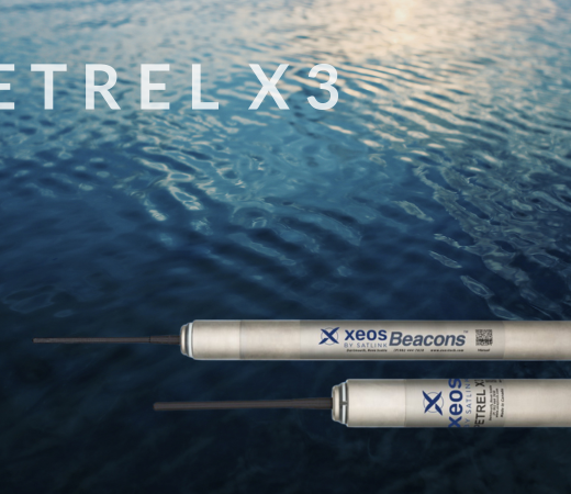
From Depths to Discovery: Xeos Petrel X3 Enhances Oceanographic Operations

As oceanographers push deeper into uncharted waters, the Xeos Petrel X3 emerges as a vital lifeline; ensuring that even the most remote underwater assets find their way home. In the increasingly complex world of oceanographic research, reliable asset recovery tools are essential for safeguarding high‑value instruments deployed in harsh marine environments. Xeos by Satlink’s Petrel […]

Read More

End of Life Notice: SLS-7200

DeepSea Power & Light   We would like to inform you that the SeaLite Sphere SLS‑7200 has officially reached end‑of‑life and is no longer in production. This decision follows the discontinuation of a critical component required to manufacture the unit. As a result, the SLS‑7200 is no longer available for purchase, and we are unable […]

Read More

Rapid, Reliable, Ready: The Littoral Riverine Survey System in Defence Hydrography

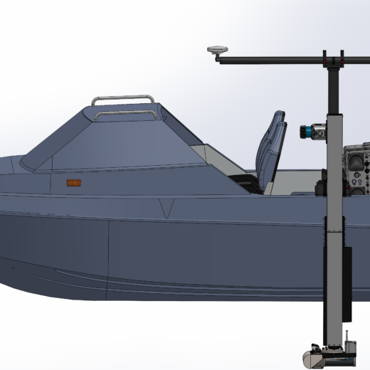
When military operations hinge on understanding what lies beneath the waves, deployable hydrographic survey systems like the LRS become essential tools for safe, informed decision‑making.       Military hydrographic survey operations play a critical role in ensuring safe navigation, operational readiness, and informed decision‑making by delivering precise, reliable mapping of the seafloor and surrounding […]

Read More